Yakattack
Sep 22-27, 2021
Cycling Yakima and Columbia River Gorge, WA & OR
Prevented last year by forest fire, B and I decided to have a go at it again. Thanks to Mika for all the route planning, which we pretty much followed to a T. Lucked out mostly with fair weather, though the ride into Portland was a bit soggy. Tbh, felt kinda good after the nosebleed air of the East side.
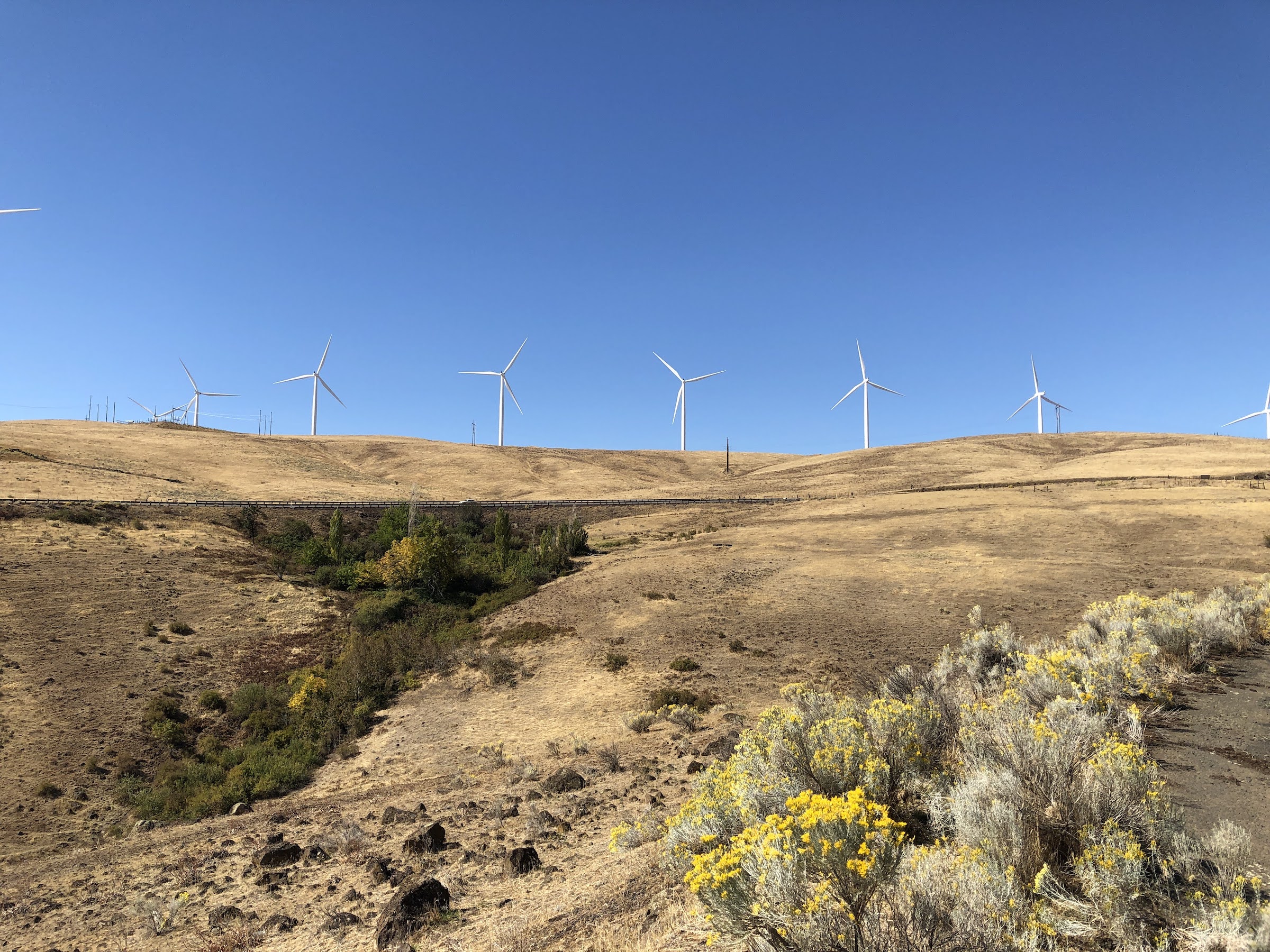
This tour more than any before did not de-stress me instantly. It was days before I stopped thinking about tasks and responsibilities, and even then, there was a certain forced uneasiness, a can’t-check-my-messages-so-no-use-worrying-type attitude. Perhaps I’ve been better prepared before, more tasks squared away or passed on to others, while this time the forgotten things kept asserting themselves. Still, even then, by mile 100, 200(?), during the mindless drone of miles of rail trail, melting under an unrelenting western sun, or maybe it was the epic high of descending Maryhill Loops, or the ceaseless headwind of the mighty Columbia… somewhere there, duty and obligation falls to the back of the mind, replaced by a familiar singular focus, a line on the road that pulls one forward…
| Day | Start | End | Miles | Elev. (ft) |
| 1 | Seattle | Hyak (Snolquamie Pass) | 73.6 | 4557 |
| 2 | Hyak | Big Pines Campground (Yakima Canyon) | 76.9 | 742 |
| 3 | Big Pines Campground | Brooks Memorial State Park (Satus Pass) | 79.2 | 3595 |
| 4 | Brooks Memorial State Park | Columbia Hills State Park | 45.7 | 1948 |
| 5 | Columbia Hills State Park | Carson Hot Springs | 40.0 | 1400 |
| 6 | Carson Hot Springs | Portland | 55.9 | 3442 |
Full route GPS: Link

Day 0 -- Tuesday, September 21
Seattle
Gear: Surly Long Haul Trucker, front and rear Ortlieb panniers.
I don’t think I’ve ridden this bike since last year’s tour so a lot of tune up needed: swap out the front tube, derrailer and brake adjustments, add pedals and seat, dusting off of things etc. Everything runs surprisingly smoothly.
Day 1 -- Wednesday, September 22
Seattle to Hyak (73.6 mi, 4557 ft)
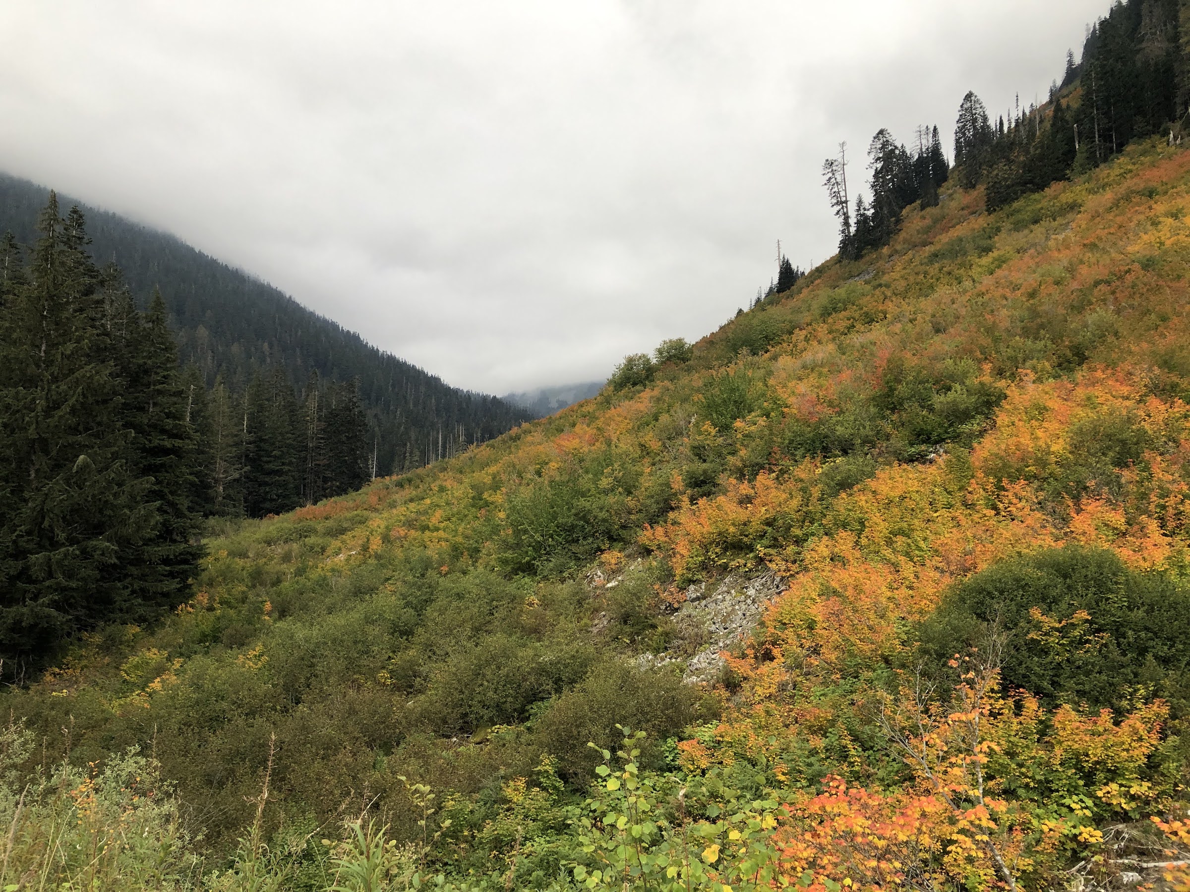
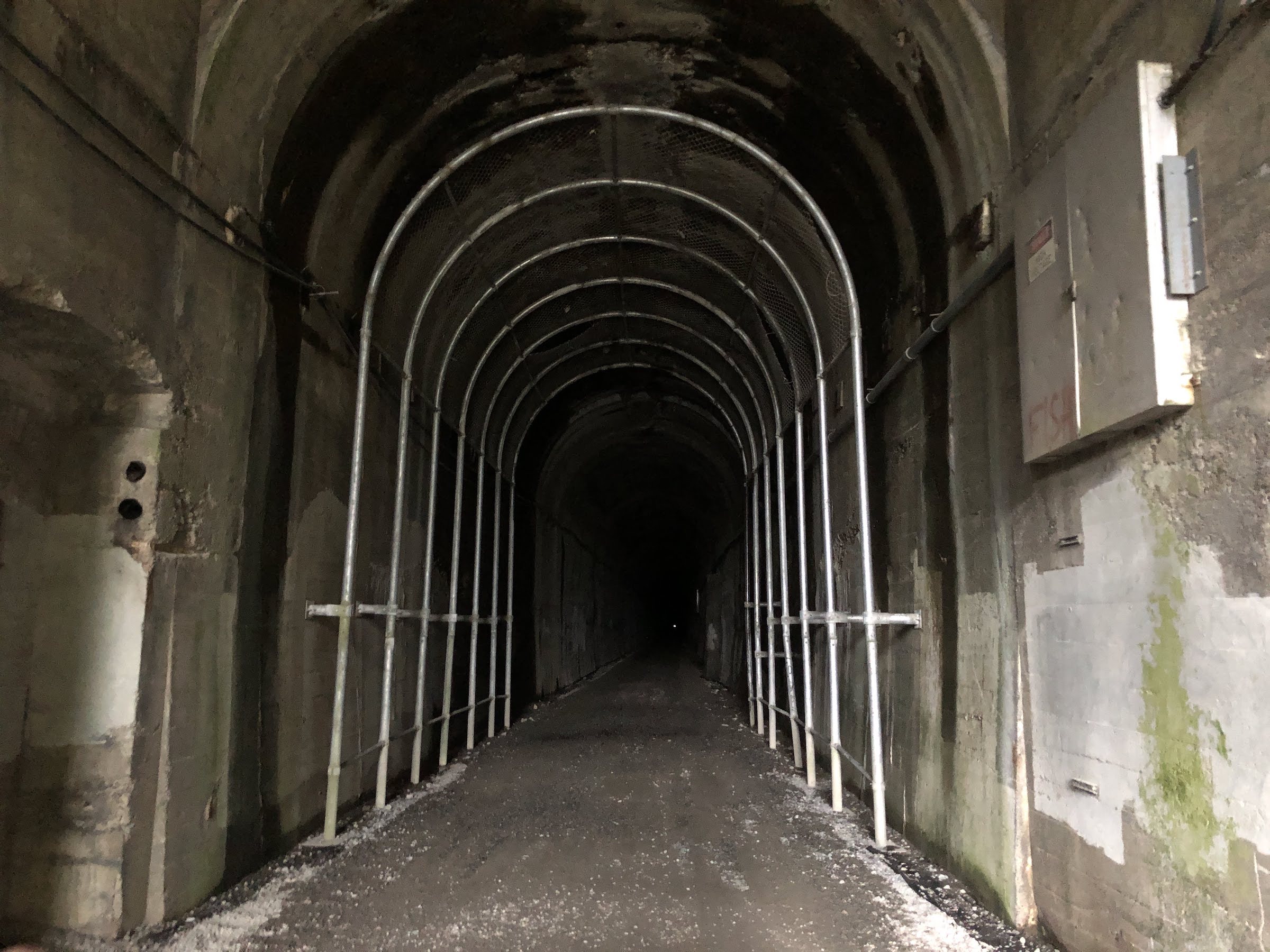
Biggest altitude gain day, but hardly felt it on that rail grade. First 30+ miles are just your average daily route to Snoqualmie Falls, so it didn’t feel like the tour had begun till we turned right at the bottom of Snoqualmie Parkway. The day stayed damp and misty on and off till Rattlesnake Lake, then dried out during the climb up Iron Horse. Fun to finally be on the trail I’ve crossed many times before on the way to so-and-so trailhead (Mt Washington and Humpback Mountain used to be regular maintanence hikes). Laugh out loud moment of the day was B trying to go for it in the tunnel without lights.
Day 2 -- Thursday, September 23
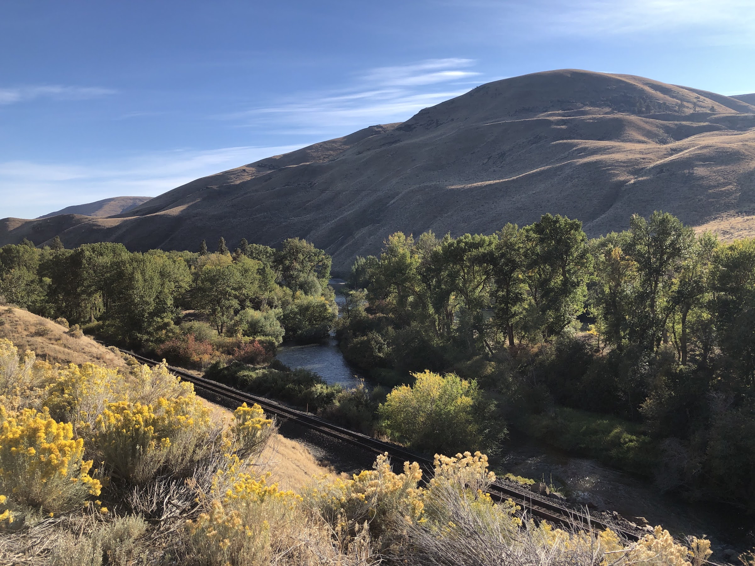
Hyak to Big Pines Campground in Yakima Canyon (76.9 mi, 742 ft)
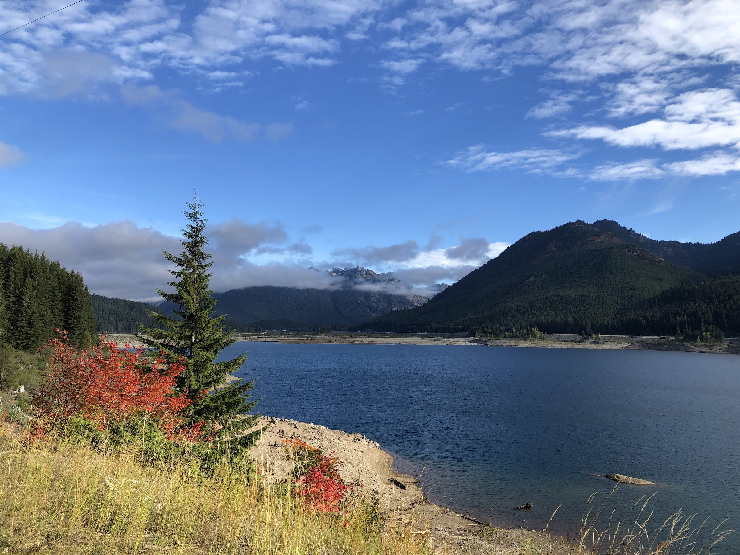
Mostly gravel day, downhill but some work needed. Air immediately crisps up over the pass. Stopped for bbq at Smokey’s in South Cle Elum, milkshake in Ellensburg, before entering the canyon.
Day 3 -- Friday, September 24
Big Pines Campground to Brooks Memorial (79.2 mi, 3595 ft)
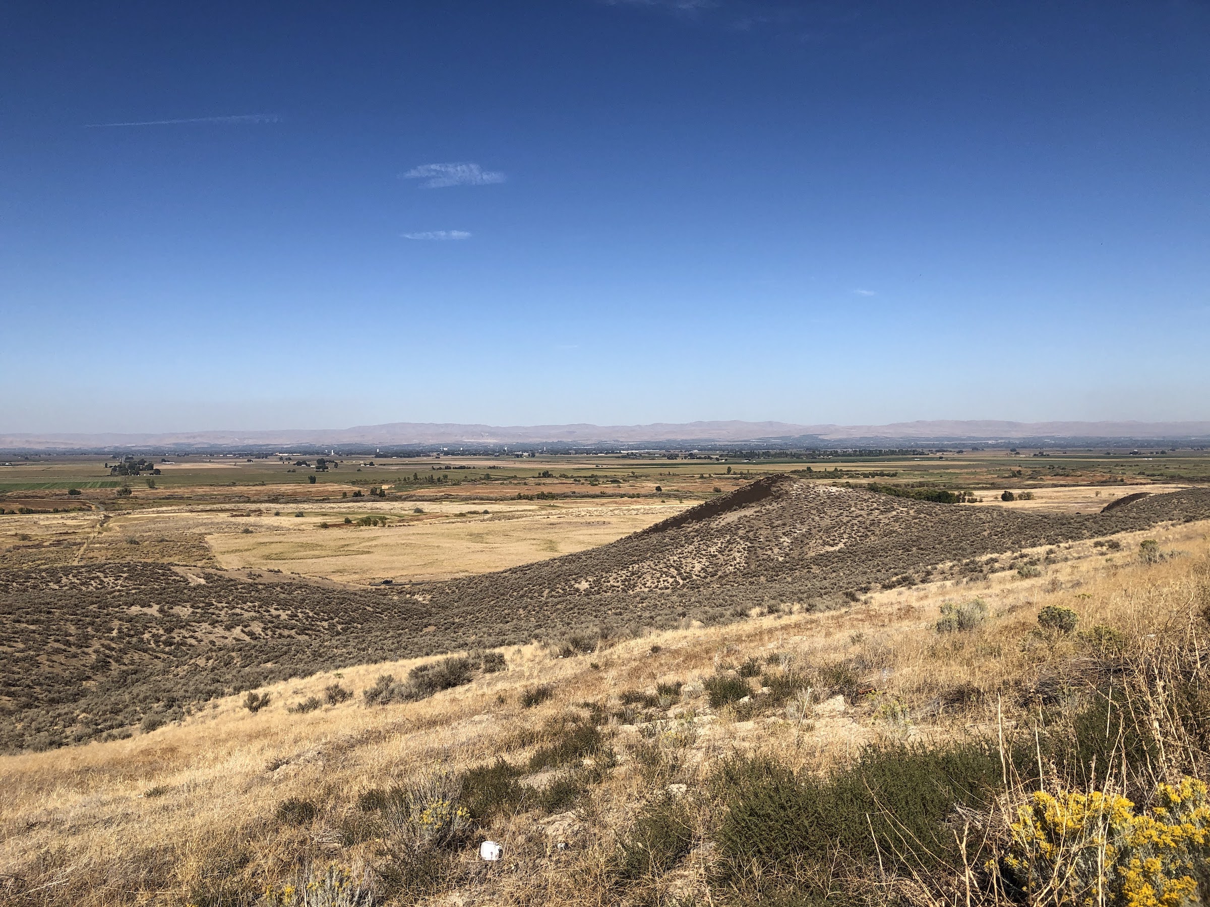
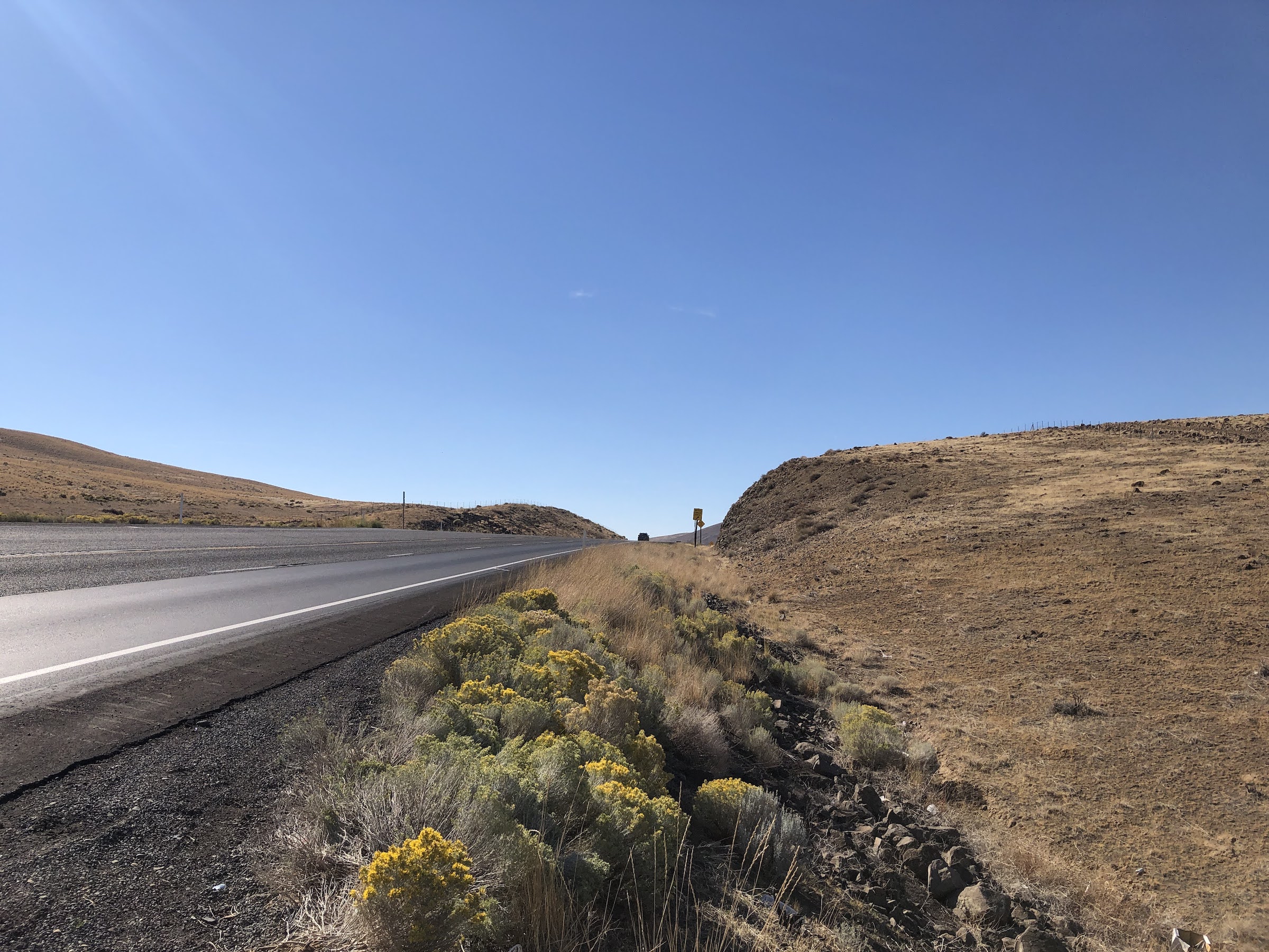
Hardest day, hot and dry, with a long stretch without facilities after leaving Toppenish. Morning was easy: accidently stopped in a right wing coffee shop, late enough start to pick up tamales at Los Hernandez for the evening, young apple trees growing trellis-style with fruit bouncing onto the road. Afternoon was…hot and exposed, and the road too busy with cars and big trucks. A kind driver made a U-turn to deliver us a message as we sat under the pitiful shade we found along the roadside: there’s a bear hanging out a bit ahead on the side of the road, you might consider moving along. A bear…of course. The top of Satus pass could not be more welcome. We descended to camp in the sunset, and celebrated B’s birthday at camp!
Day 4 -- Saturday, September 25
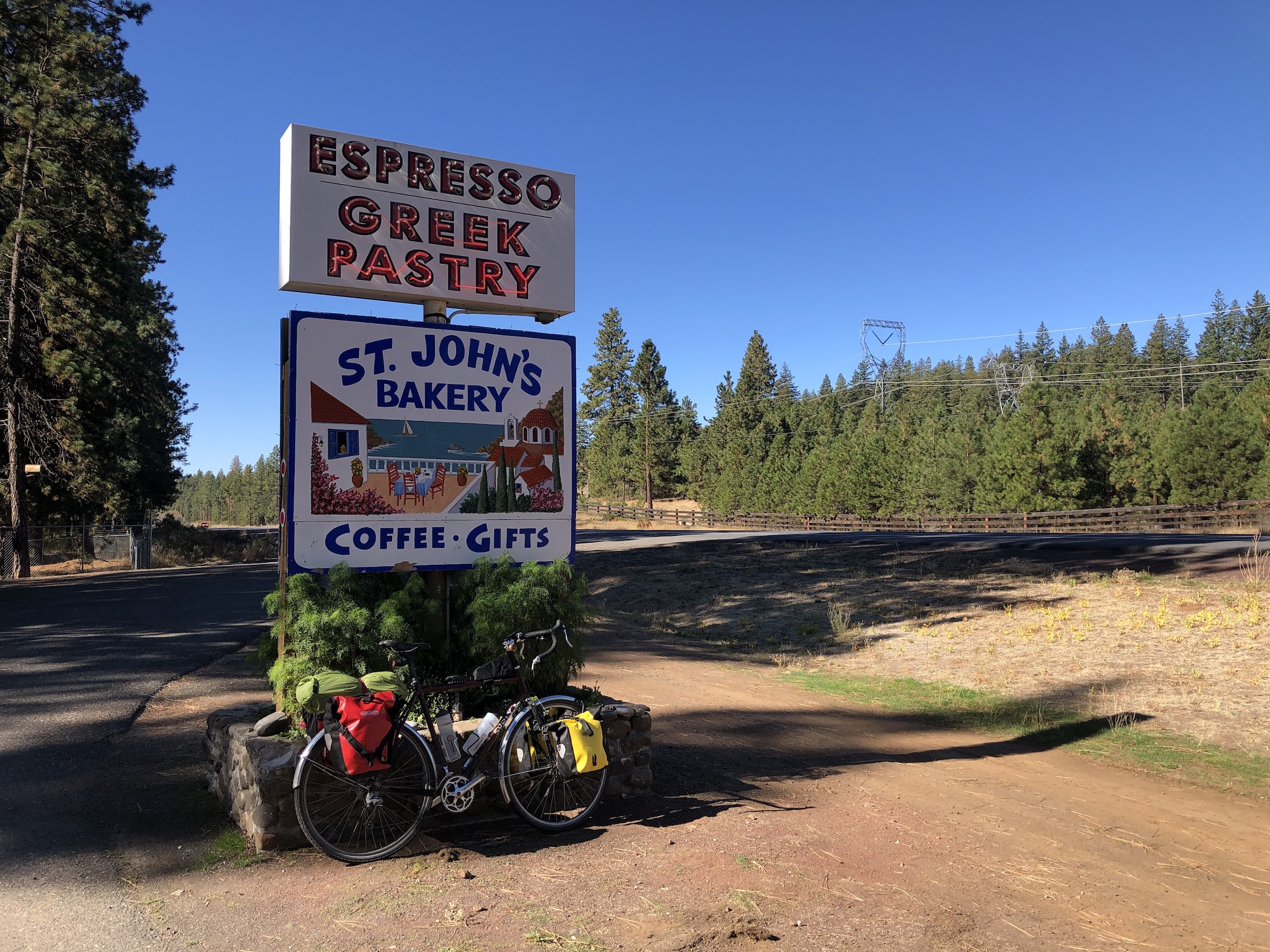
Brooks Memorial to Columbia Hills (45.7 mi, 1948 ft)
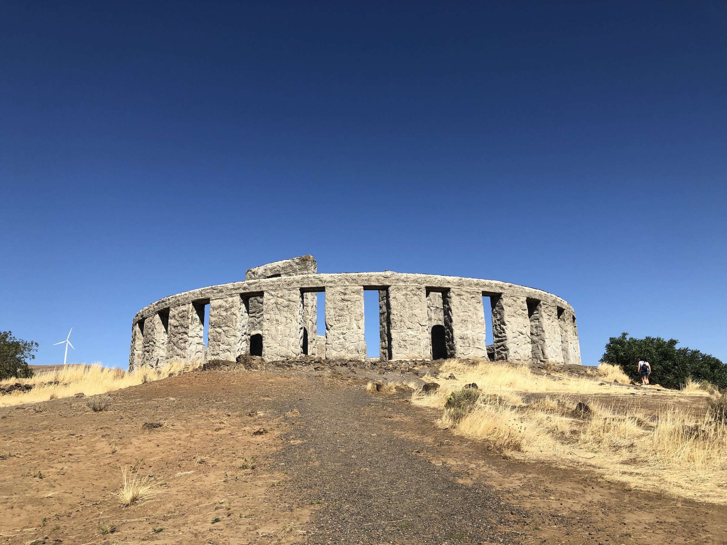
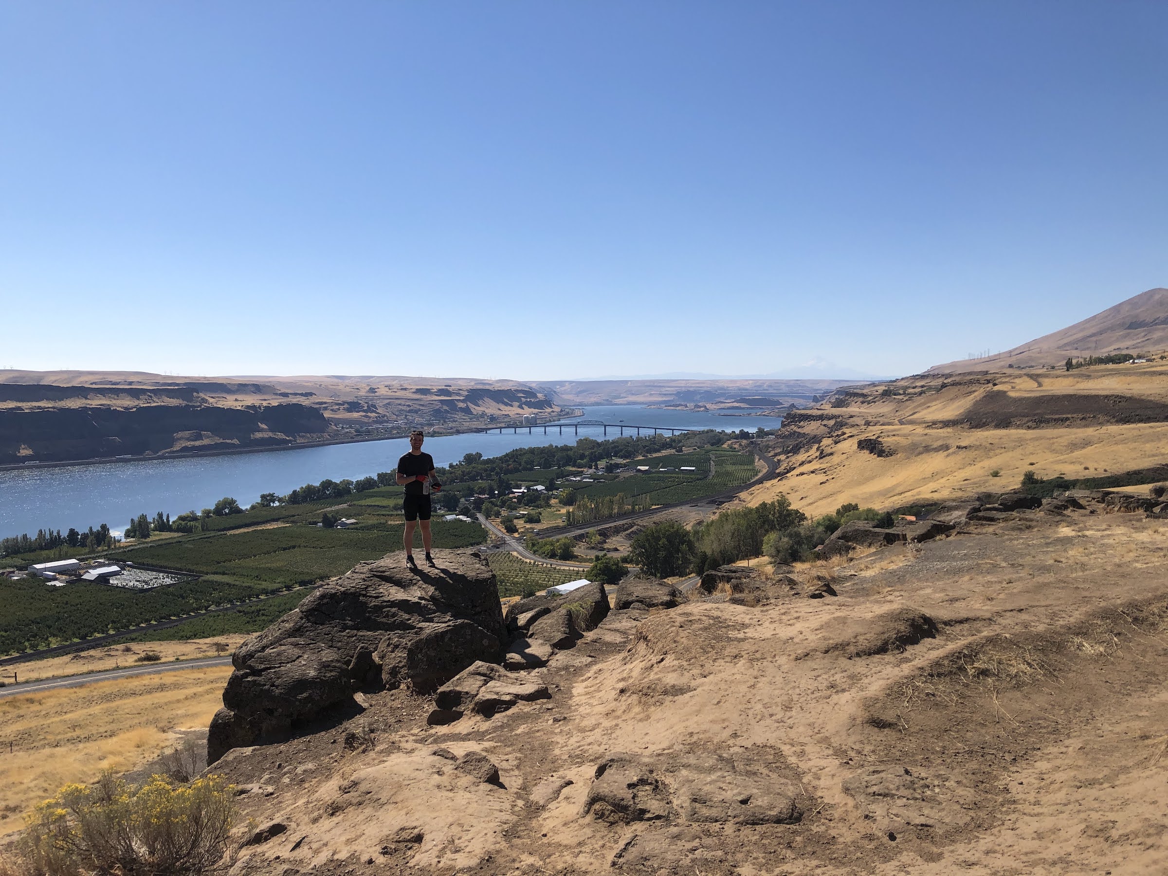
Best of the best: Monastic bakery. Maryhill Loops Road. Stonehenge. Columbia River Gorge.
Day 5 -- Sunday, September 26
Columbia Hills to Carson (42.0 mi, 1400 ft)
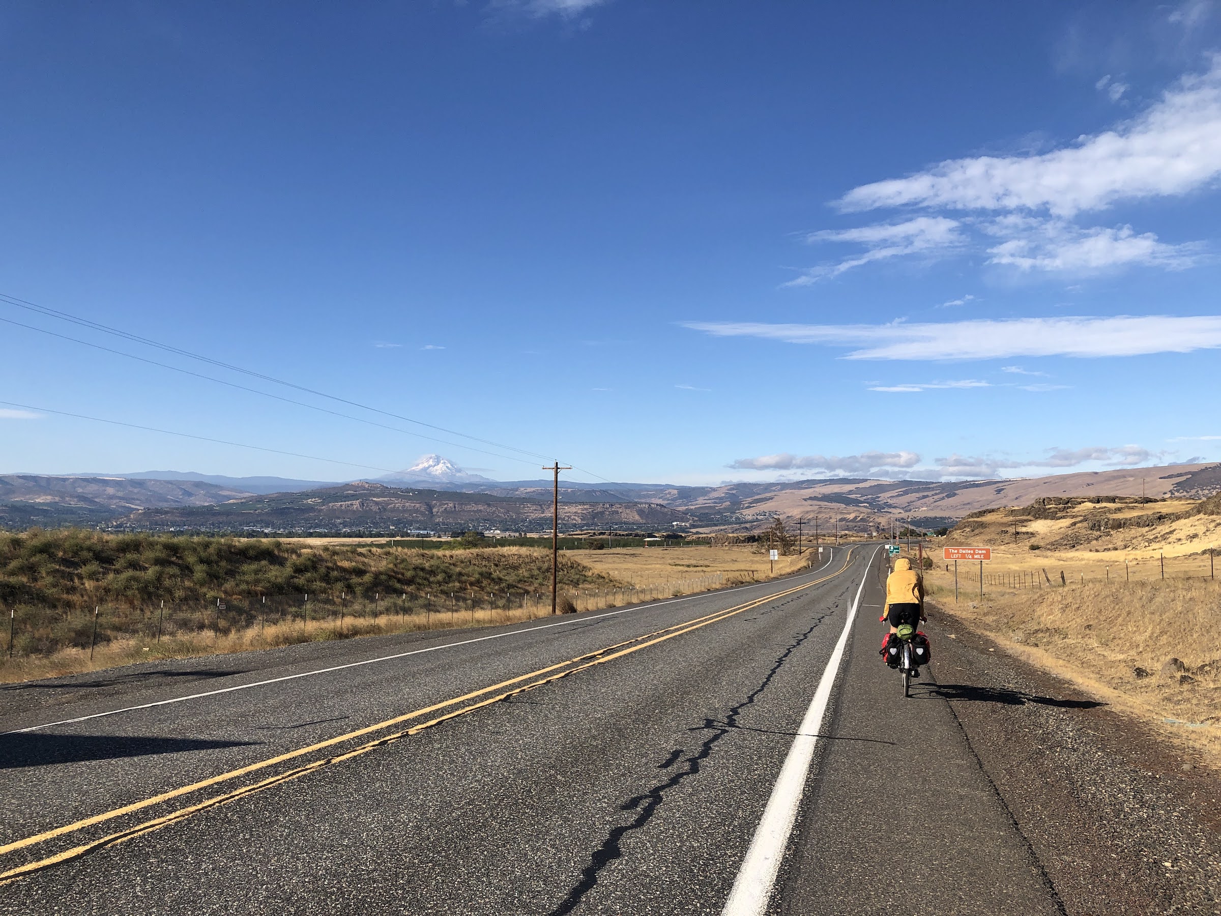
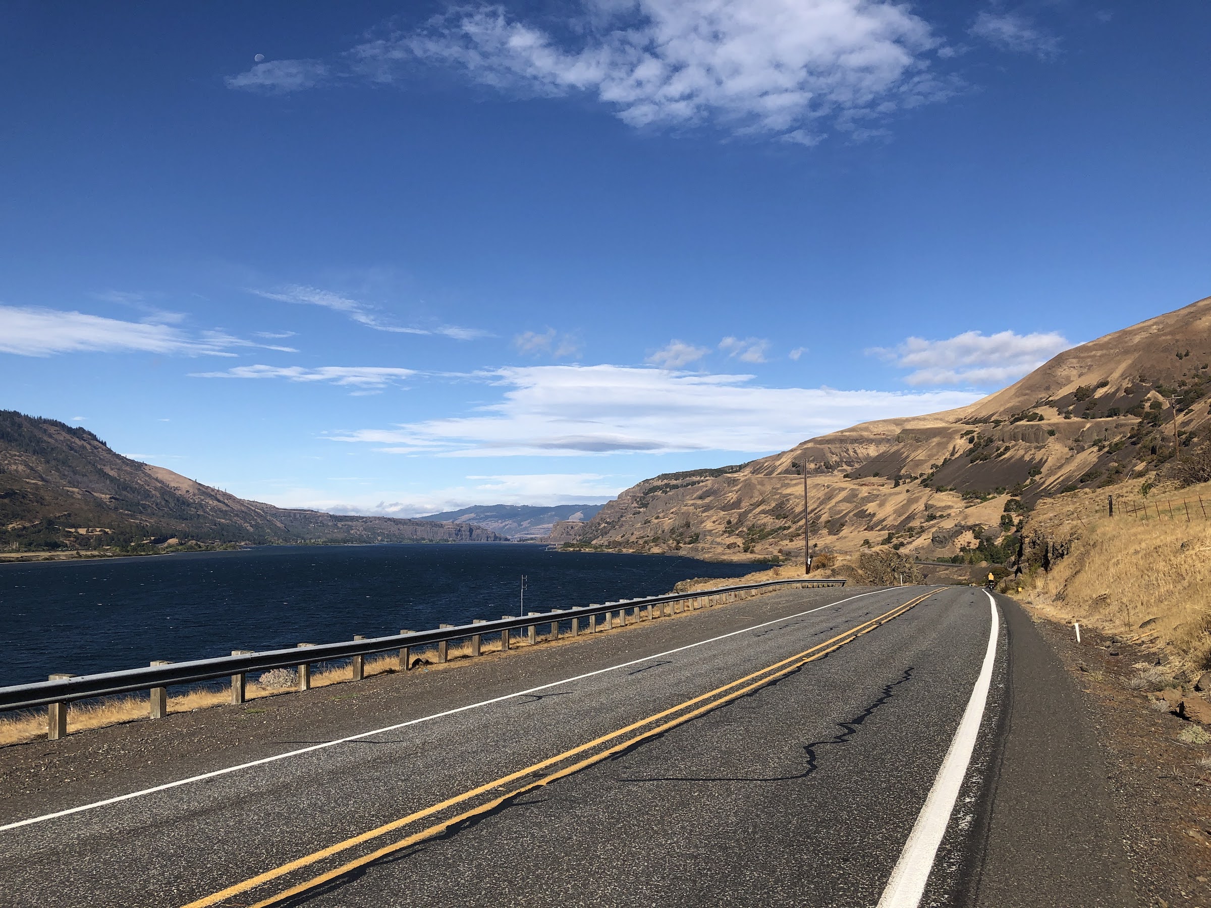
The headwind started when we entered the Columbia River Gorge and never let up. That plus the mostly fast traffic along highway 14 made this a pretty unpleasant traverse. The things we do for hotsprings, especially when presented in individual clawfooted tubs. Oh, and showers and a bed after several nights of camping. Can’t complain.
Day 6 -- Monday, September 27
Carson to Portland (55.9 mi, 3442 ft)
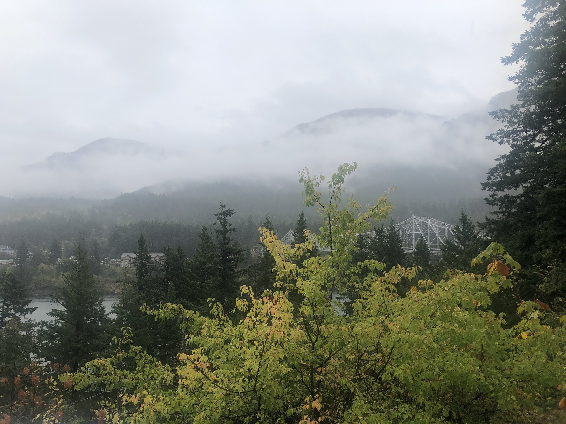
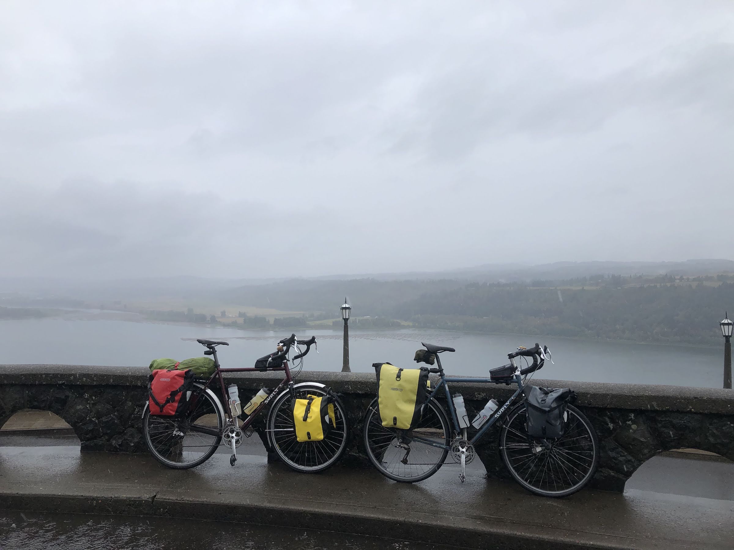
The rains were forecast and the rains came. A slight drizzle the previous night into full blown wet droplets. At least we got a chance to use our rain gear. Route 30 was all in all quite pleasant, though looking at waterfalls has always held limited appeal for me, and even less so when soaked through. A few bright moments at the Bridge of the Gods, the stained glass lookout at Crown Point, and peering down through the mist at Bonneville Dam. After a brief break in the suburbs, we roll into M and T’s in Portland <3.
Day 7 -- Tuesday, September 28
Took the train back to Seattle!